Malaysia's weather authorities have issued an urgent alert for severe thunderstorm conditions affecting a wide geographical spread across the country. The Malaysian Meteorological Department (MetMalaysia) released the warning on June 18, alerting residents and authorities in six states plus the federal territory of Labuan to prepare for dangerous weather patterns persisting through to 1 am on June 19. The alert encompasses multiple districts across Peninsular Malaysia, East Malaysia's largest state, and the offshore federal territory, suggesting a significant atmospheric system is moving across the region.
In Peninsular Malaysia, the warning covers three separate regions in Kedah, with the northern state's Padang Terap, Sik and Baling districts flagged as areas of concern. Perak's Hulu Perak district, located in the state's interior and typically less exposed to coastal weather systems, has also been included in the advisory. The East Coast state of Kelantan faces particularly broad coverage, with five districts mentioned: Tumpat, Pasir Mas, Jeli, Tanah Merah and Kuala Krai. These areas frequently experience intense monsoon-related weather and are well accustomed to sudden downpours, though MetMalaysia's explicit warning indicates conditions may exceed typical seasonal patterns. Pahang's Jerantut district, situated in the state's eastern interior, rounds out the Peninsular coverage.
Sarawak's alert is notably extensive, reflecting the state's geographical diversity and vulnerability to tropical weather systems. The warning covers the state capital region of Kuching alongside nearby districts of Serian and Samarahan, which together form the southern population centre of Sarawak. Further inland, Sri Aman and the Betong division—which includes the towns of Pusa and Betong near the Kalimantan border—have been placed under alert. The Sarikei division's Julau area, the Sibu division encompassing Kanowit and Selangau, and the Kapit division covering Kapit town and Bukit Mabong face warnings as well. Bintulu, a major industrial and port hub, sits within the affected zone. Northern Sarawak's Miri division, including Subis, Beluru, Miri itself and Marudi, plus the Limbang division at the state's northeastern corner, are also included in the alert. This comprehensive coverage suggests weather systems are developing or moving across the entire state.
Sabah's three administrative regions each contain affected areas. The Interior region's Kuala Penyu, a coastal district in the state's southwest, has been flagged. The West Coast region—Sabah's most densely populated area—includes both Putatan and Ranau. Putatan lies immediately south of Kota Kinabalu, the state capital, while Ranau is an interior highland area known for agriculture. Sandakan division in the eastern part of the state contributes two affected districts: Telupid and Beluran. The federal territory of Labuan, situated off Sabah's coast, completes the warning zone.
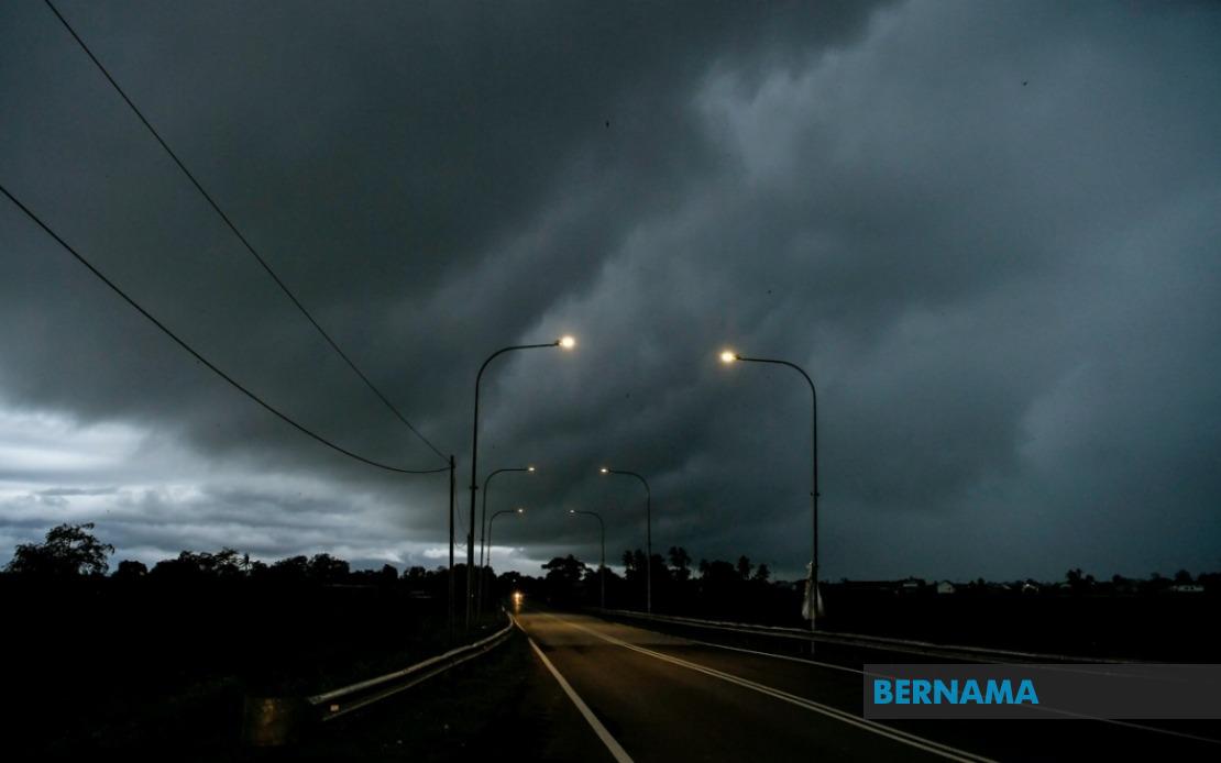
Thunderstorm warnings of this geographic scope typically indicate a region of atmospheric instability, possibly reinforced by current seasonal conditions or a developing weather system. In June, the Southwest Monsoon dominates wind patterns across Malaysian waters, though thunderstorms can develop independently from monsoon systems. The breadth of the warning across both Peninsular and East Malaysia suggests either multiple isolated systems or a more extensive atmospheric disturbance affecting the entire nation.
Residents in affected areas should prepare for multiple hazards simultaneously. Heavy rainfall poses the most immediate risk to communities, particularly in flood-prone districts. Kelantan's flat, low-lying eastern coast and Pahang's interior river systems are historically vulnerable to flash flooding from intense precipitation. In Sarawak and Sabah, where dense forest coverage and steep terrain are common, landslides become an additional concern during heavy downpours. Strong winds accompanying thunderstorms can damage structures, uproot trees, and disrupt power supplies. Coastal regions like Kuching and Labuan may experience rough seas and difficult maritime conditions.
The four-hour window until 1 am provides residents with limited time to secure properties, stock essential supplies, and secure outdoor items that could become projectiles. Motorists should avoid unnecessary travel through affected areas, particularly through flood-prone routes and areas prone to landslides. Fishermen and maritime workers should ensure vessels are secured and avoid venturing into affected waters. Agriculture and plantation operations may need to temporarily suspend outdoor activities to protect workers.
MetMalaysia's warnings serve a critical public safety function in a tropical nation where rapid weather changes pose genuine hazards. The specificity of district-level alerts allows local authorities to target emergency response and public communication efforts effectively. State disaster management agencies in Kedah, Perak, Kelantan, Pahang, Sarawak, Sabah and Labuan would typically activate emergency operation centres and alert personnel in response to such warnings. Residents are advised to monitor MetMalaysia's official channels for updates, particularly if the warning is extended beyond the stated timeline.
For travellers and commuters, the warning may necessitate revised plans. Long-distance transportation between affected districts should be reconsidered until weather conditions improve. Flights and overland services may face delays or cancellations if conditions deteriorate. The warning serves as a timely reminder of Southeast Asia's tropical vulnerability and the importance of maintaining preparedness for severe weather events.