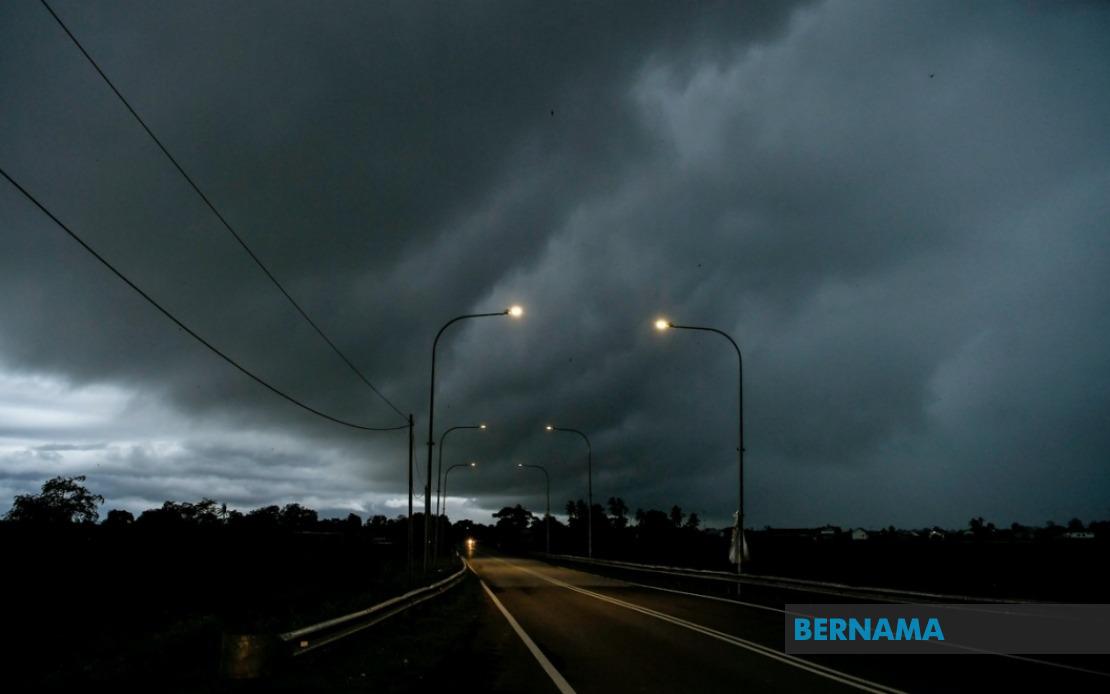
Weather authorities in Malaysia have put residents on high alert as a band of severe weather moves across the country, with the Malaysian Meteorological Department issuing formal warnings for thunderstorms, torrential rain and powerful gusts affecting multiple districts across three regions. The alert remains in effect until 9 pm, giving residents and authorities several hours to take necessary precautions and prepare for potentially hazardous conditions.
In Peninsular Malaysia, the brunt of the severe weather is concentrated in five districts spanning three states. Perak faces the most widespread impact, with Larut, Matang and Selama, Kuala Kangsar and Kinta all under warning. Kelantan's eastern districts of Jeli, Kuala Krai and Gua Musang are similarly affected, while Kemaman in Terengganu completes the threat picture for the east coast region. Additionally, the central east zone encompasses Lipis and Jerantut in Pahang, and the southern region includes Kulai, Kota Tinggi and Johor Bahru in Johor, creating a broad swath of vulnerability across the peninsula's eastern corridor and major urban centres.
Sarawak has also been drawn into the weather system's path, with warnings extending across multiple divisions in the state. The Kuching and Samarahan municipal areas, home to the state capital and surrounding communities, face thunderstorm and heavy rain prospects. In the Sibu division, Kanowit district residents have been advised to exercise caution, while the Bintulu division's Tatau and Sebauh areas are similarly on alert. The Limbang division's Lawas district rounds out Sarawak's affected zones, indicating that the weather pattern's influence stretches across the state's diverse geography.
Sabah's exposure to the severe weather system is more geographically concentrated but still significant. The Interior division's Sipitang district faces threats from the incoming conditions, while the Sandakan division experiences a broader impact across multiple districts including Telupid, Kinabatangan, Beluran and Sandakan itself. This distribution suggests the weather system is moving across the state's eastern and central regions.
The simultaneous occurrence of thunderstorms, heavy rain and strong winds presents a compound hazard that extends beyond simple precipitation concerns. Thunderstorms indicate atmospheric instability and the potential for lightning strikes, which pose direct safety risks to people outdoors or in exposed locations. Heavy rain threatens flooding in low-lying areas, drainage systems and river basins, particularly in districts with histories of water-related incidents. Strong winds compound these dangers by creating debris hazards, threatening structures and making travel hazardous, especially for vulnerable vehicles and maritime transport.
For residents in affected areas, the afternoon warning period necessitates immediate practical responses. Those in flood-prone zones should monitor water levels and prepare evacuation routes. Commuters should reconsider unnecessary travel and allow extra time for journeys, particularly on major routes like those through Johor Bahru and Kuala Kangsar. Outdoor activities, construction work and sporting events scheduled during the warning period should be postponed or relocated indoors. Boaters and fishermen in coastal and riverine areas should seek shelter and secure vessels.
The geographic extent of this warning—spanning multiple states from the peninsula's east coast to eastern Sarawak and Sabah—suggests a significant weather system rather than isolated thunderstorm cells. Such widespread patterns typically indicate monsoonal or inter-monsoon influences, periods when Malaysia frequently experiences intense convective weather. The coordination of warnings across state boundaries reflects the Malaysian Meteorological Department's sophisticated monitoring capabilities and real-time assessment of atmospheric conditions.
Historically, such weather patterns have triggered cascading impacts beyond the immediate warning period. Even after the 9 pm deadline, residual flooding may persist as water drains from affected catchment areas. Soil saturation from heavy rainfall increases landslide risks on hilly terrain, particularly in areas like Pahang's districts and Sabah's interior zones. Road and bridge conditions may be compromised, affecting transport networks days after the weather system passes.
For Southeast Asia's broader context, Malaysia's exposure to such severe weather underscores the region's vulnerability to atmospheric variability. Unlike temperate zones where severe weather often follows predictable seasonal patterns, tropical and equatorial systems like those affecting Malaysia can develop and intensify rapidly with limited warning time. The ability of MetMalaysia to issue timely alerts demonstrates the region's advancing meteorological infrastructure, yet also highlights the ongoing need for public awareness and preparedness.
Residents should remain attentive to official updates, as MetMalaysia may extend or revise warnings based on evolving conditions. The department's next scheduled assessment will provide crucial information about whether the weather system accelerates, lingers or intensifies. Local authorities in the affected districts are likely coordinating emergency response capabilities, with disaster management teams positioned to respond to flooding, landslides or other weather-related incidents. Social media and official channels will carry real-time developments, making it essential for residents to maintain awareness through reliable information sources rather than relying on informal reports.

