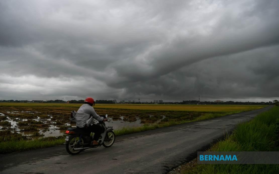
The Malaysian Meteorological Department has issued a widespread alert for thunderstorms, torrential downpours and powerful wind gusts affecting multiple regions across the country, with conditions expected to persist until 9 pm on July 15. The advisory encompasses a significant portion of Peninsular Malaysia alongside substantial areas in East Malaysia, putting residents across diverse geographical zones on notice to exercise caution during the hazardous weather period.
In the northern peninsula, Kedah residents in Kuala Muda, Baling, Kulim and Bandar Baharu should prepare for inclement conditions, while Penang's exposure is particularly broad, covering the Northeast district and all three Seberang Perai zones. The scale of the warning in Penang reflects the meteorological department's assessment that the storm system poses considerable risk to the island state's densely populated areas and the sprawling industrial zones across the Perai mainland. Residents are advised to secure loose outdoor items and avoid unnecessary travel during peak storm activity.
Perak faces similarly extensive coverage, with the warning stretching from the coastal Kerian district through the central highlands region, encompassing Larut, Matang and Selama, Hulu Perak, Kuala Kangsar, Kinta, Kampar and Batang Padang. This geographic breadth suggests the storm system has the potential to affect both lowland communities and highland settlements, each facing distinct meteorological challenges during heavy rainfall. The entire state of Kelantan is placed under the warning, indicating particular vulnerability along the east coast's geographic and climatic profile.
Terengganu's warning zone includes Besut, Hulu Terengganu, Kuala Terengganu, Marang, Dungun and Kemaman, covering both coastal and inland districts. In Pahang, the affected areas span Cameron Highlands, Lipis, Jerantut, Kuantan, Pekan and Rompin, representing a significant north-south corridor across the state. These Pahang districts encompass the highland tourism region, the state capital Kuantan and eastern coastal settlements, demonstrating the storm's potential reach across diverse elevation profiles and population densities.
Southern peninsula coverage extends through Johor, where eight districts face the thunderstorm threat: Tangkak, Segamat, Muar, Kluang, Mersing, Kulai, Kota Tinggi and Johor Bahru. Johor's broad inclusion underscores the storm system's scope, affecting both the densely urbanised southern regions and more rural inland areas. This expansion into Malaysia's southernmost peninsula state indicates the weather system's capacity to influence conditions across the entire length of the country's landmass.
In Sarawak, the warning encompasses Sibu, Mukah with its constituent districts of Matu, Dalat and Mukah proper, Kapit's Song district, Bintulu's Tatau area and Miri's zones including Beluru, Miri and Marudi. The Sarawak alert represents significant coverage of the state's northern and central regions, affecting both major towns and less densely settled interior areas. Sarawak's vast geography and varied terrain mean weather warnings carry substantial implications for river transport, agricultural activities and rural communities dependent on weather-dependent livelihoods.
Sabah's affected areas are distributed across two divisions, demonstrating the storm's penetration into Borneo's interior and western coast. The Interior Division faces warnings in Sipitang, Kuala Penyu, Beaufort and Tambunan, while the West Coast Division is affected in Papar, Penampang and Ranau. The Federal Territory of Labuan is also placed under alert status, reflecting the storm system's geographic extent across the entire country from peninsula to offshore federal territories.
For Malaysian residents and workers, the thunderstorm warning carries practical implications for daily activities and travel planning. Commuters should anticipate potential traffic disruptions caused by reduced visibility, flash flooding in low-lying areas and wind-related hazards to vehicles. Public transport operators may experience scheduling delays, while road safety becomes paramount during the warning period. Schools and businesses in affected areas should ensure contingency plans are in place for student dismissals or workplace disruptions.
The breadth of MetMalaysia's alert reflects the meteorological department's assessment of a significant weather system with substantial geographic extent. Such comprehensive warnings across peninsula and East Malaysia simultaneously suggest either a large-scale weather pattern or multiple concurrent storm systems affecting different regions. Residents in all listed areas should monitor MetMalaysia's official channels for updates, as weather situations can escalate or change trajectory with limited advance notice.
Under the warning conditions, outdoor activities should be postponed or relocated indoors. Drivers navigating the affected regions should exercise heightened caution, reducing speed and maintaining increased following distances on wet roads. Those planning evening activities should consider the early 9 pm evening timeframe as a reference point for weather impact, though conditions may persist beyond the formal warning expiration. Preparedness measures, including securing loose outdoor items, checking drainage systems and ensuring emergency supplies are accessible, remain prudent steps for households throughout the warning zone.

