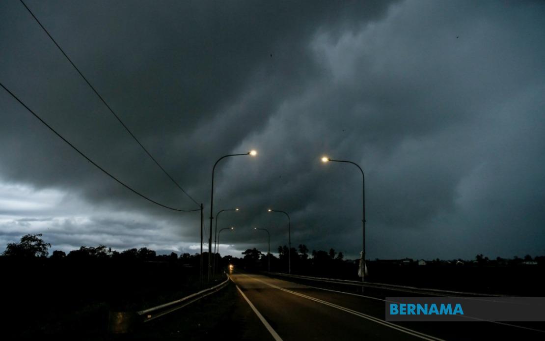
The Malaysian Meteorological Department has sounded an alert for hazardous weather sweeping across large swathes of the country, with thunderstorms, torrential rain, and potentially damaging winds forecast to persist until 1 pm today. The department's warning encompasses several strategically important regions spanning both Peninsular Malaysia and East Malaysia, underscoring the scale and severity of the developing weather system.
In Peninsular Malaysia, the central and western regions face the most immediate threat. Sabak Bernam in Selangor—a low-lying coastal district vulnerable to flash flooding—has been specifically flagged as a high-risk zone. The warning extends into Perak, affecting a band of districts including Manjung, the industrial and agricultural heartland of Perak Tengah, along with Bagan Datuk and Hilir Perak in the south. These areas, many with significant population centres and crucial economic infrastructure, stand to experience the full force of the incoming system.
The Sarawak warning paints a comprehensive picture of exposure across the East Malaysian state's diverse geography. Authorities have identified risk zones spanning from the southern border region of Betong, through the central and coastal areas of Sarikei and its surrounding subdivisions—Pakan, Meradong—and extending north through Sibu, a major commercial hub. The coastal municipalities of Mukah, encompassing Tanjung Manis and Daro, are similarly under alert, as are the inland regions of Kapit. Northern zones including Bintulu's Tatau district, Miri, and Limbang face equivalent exposure to severe conditions.
Sabah's vulnerability appears particularly acute given the department's granular specification of affected divisions. The Interior Division communities of Sipitang, Kuala Penyu, and Beaufort, predominantly rural and mountainous areas where drainage systems may be challenged, require heightened vigilance. The West Coast Division—encompassing the densely populated coastal corridor of Papar, Putatan, Penampang, and Kota Kinabalu city itself, alongside growing centres like Tuaran and Kota Belud—represents the state's economic and population nucleus and stands to experience significant disruption. The Kudat Division in the far north rounds out Sabah's warning zones.
The Federal Territory of Labuan, the small offshore financial centre located off Sabah's coast, has been flagged for similar weather conditions across its entire jurisdiction. Given the territory's limited land area and importance as a financial hub, any disruption carries implications extending beyond the immediate locality to regional business and investment sectors.
The concentration of warnings across these specific regions reflects the meteorological system's trajectory and intensity characteristics. Thunderstorms of this magnitude typically form when atmospheric conditions create instability—usually involving warm, moist air meeting cooler upper-level winds. The timing forecast until 1 pm suggests this particular system maintains its organisational strength during the morning and early afternoon hours before potentially weakening or moving offshore.
For residents and authorities across the warned areas, the multi-hazard nature of the alert demands a measured response. Heavy rainfall poses the most visible threat, particularly in urban areas where drainage infrastructure may become overwhelmed and in riverine communities prone to sudden water level rises. Strong winds accompanying such systems can topple unsecured structures, damage vegetation, disrupt power lines, and create hazardous conditions for outdoor activities and transport. The combination of factors necessitates precautionary measures ranging from securing loose outdoor items to monitoring water levels in vulnerable localities.
The geographic spread of the warning—from Selangor's Klang Valley region through to Sarawak's coastal plains and Sabah's mountainous interior—demonstrates the significance of the approaching weather pattern. Such extensive simultaneous warnings are typically issued during the transition between monsoon seasons or when unusually powerful systems develop. For Malaysian readers, particularly those in flagged zones, the guidance is straightforward: remain alert to updates, avoid unnecessary outdoor exposure during peak storm hours, and ensure emergency preparedness measures are in place.
MetMalaysia's specificity in naming individual districts and municipalities rather than issuing blanket state warnings reflects modern meteorological precision and the department's commitment to actionable forecasting. This approach allows local authorities, emergency services, and residents to calibrate their response appropriately. The 1 pm cutoff time suggests the department expects conditions to moderate during the afternoon hours, though localized impacts may persist longer in particularly affected pockets.
Given Malaysia's tropical monsoon climate, such weather events are neither unusual nor unexpected, yet each occurrence demands respect and preparedness. The convergence of multiple risk zones across Peninsular Malaysia and East Malaysia underscores the importance of maintaining robust early warning systems and ensuring communities understand the implications of meteorological alerts. As the forecast period unfolds through the morning hours, residents in affected areas should remain attentive to any updates or escalations in warnings that might extend the forecast window or intensify the severity characterisation.

