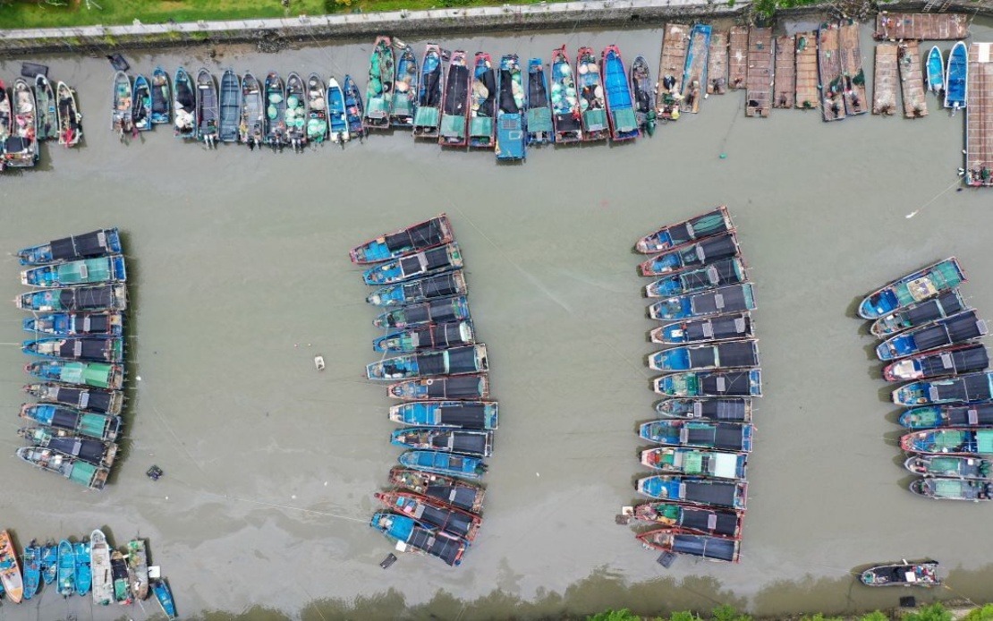
China's national meteorological authority escalated its weather alert to red status on Saturday as Typhoon Noul moved closer to the Guangdong coastline, marking the activation of the country's most severe typhoon warning designation. The National Meteorological Centre's decision to impose the highest level of alert underscores the considerable threat posed by the approaching storm system, which has been designated as the 12th typhoon to occur during the current seasonal cycle.
At the time the alert was issued, Typhoon Noul's centre was positioned approximately 100 kilometres offshore from Huidong County in Huizhou City, Guangdong Province. Meteorological measurements recorded maximum sustained winds reaching Force 14 in the immediate vicinity of the typhoon's core, indicating an exceptionally powerful storm capable of inflicting substantial damage across affected regions. The cyclone's current trajectory and strength metrics prompted the immediate implementation of the red-level warning, a designation reserved only for the most dangerous weather phenomena in China's standardised alert system.
The forecast trajectory indicates that Typhoon Noul will advance in a northwesterly direction at a relatively modest forward speed of approximately 20 kilometres per hour, while simultaneously intensifying over the coming hours. This combination of slow movement and increasing strength creates an extended period of hazardous conditions for coastal and near-coastal communities. After the storm makes its anticipated landfall along the Guangdong shoreline, meteorologists expect the system to transition toward a north-northwestward path while gradually diminishing in intensity, though such weakening typically occurs only after the initial impact phase has concluded.
In coordinated response to the approaching typhoon, China's State Flood Control and Drought Relief Headquarters moved swiftly to elevate emergency protocols across multiple provinces. The agency raised its flood and typhoon control response for Guangdong Province to Level III, reflecting expectations of severe weather impacts warranting sustained emergency management interventions. Simultaneously, Level IV emergency responses were activated for Jiangxi and Hunan provinces, acknowledging that secondary effects such as heavy rainfall and inland flooding pose significant risks even to regions situated farther from the initial landfall zone.
China's four-tiered colour-coded weather warning system provides a structured framework through which meteorological hazards are communicated to both governmental authorities and the general public. The system ranks alerts in descending order of severity, with red representing the most critical threat level, followed by orange, yellow, and blue designations. The activation of a red alert is comparatively rare and indicates that meteorologists have assessed conditions as posing exceptional danger to life, infrastructure, and economic activities across affected territories. Such alerts typically precipitate widespread emergency measures, including evacuation orders, suspension of maritime operations, and deployment of disaster-response resources.
The timing of Typhoon Noul's approach during the southern Chinese summer season carries particular significance, as this period typically experiences elevated typhoon activity across the Western Pacific region. Guangdong Province, as one of China's most economically developed and densely populated areas, faces considerable exposure to typhoon-related hazards including storm surge, extreme precipitation, and severe wind damage. The province's extensive industrial infrastructure, substantial manufacturing sectors, and large urban populations mean that even moderate typhoon impacts can generate substantial economic consequences and humanitarian concerns.
For Southeast Asian observers and Malaysian readers, the patterns evident in Typhoon Noul's development and trajectory offer important implications regarding regional weather systems and climate patterns. The Western Pacific typhoon season, which encompasses the period when systems such as Noul develop, directly influences weather and ocean conditions affecting Malaysia and neighbouring countries. Storm systems originating in this region can eventually influence monsoon patterns and precipitation distribution across Southeast Asia, making the monitoring of such phenomena relevant to regional environmental planning and disaster preparedness initiatives.
The activation of China's red alert also demonstrates the operational readiness of the country's meteorological and disaster-response infrastructure. Such coordinated actions, involving rapid communication between scientific agencies and emergency management authorities, reflect decades of accumulated experience in managing typhoon-related crises. The systematic nature of China's response protocols, from initial alert issuance through graduated emergency activation, provides a model that other regional governments have studied and increasingly adopted as they seek to enhance their own disaster-management capabilities in the face of intensifying extreme weather phenomena.
The broader context of Typhoon Noul's emergence within China's 2024 typhoon season suggests that the region continues to experience weather patterns consistent with long-term climatic trends. The designation of Noul as the 12th typhoon of the year indicates a relatively active seasonal progression, with implications for sustained vigilance and sustained investment in disaster preparedness across vulnerable coastal and near-coastal communities throughout the affected regions.

